
Twenty acres of pine, oak and quiet.
Rolling ridge ground with eighty feet of fall, a creek in the hollow, standing timber over most of it, and an old logging road running back to the far corner.
What it feels like
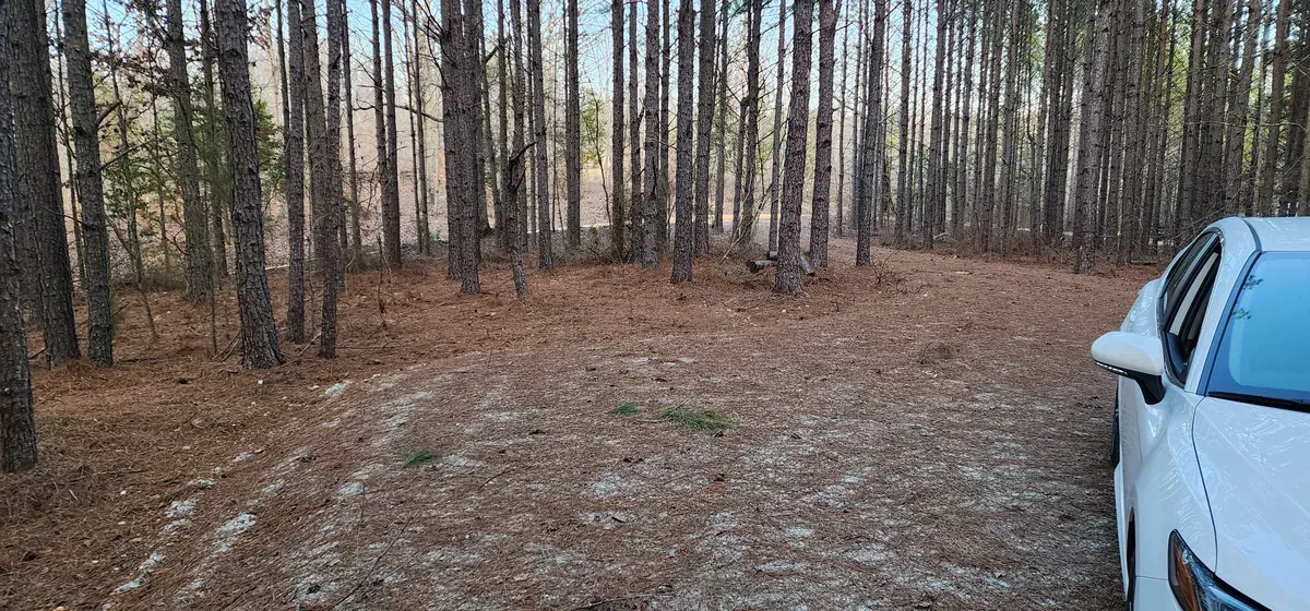
You come in off a quiet county road and the pines close behind you. The drive runs back far enough that the road is gone — no headlights, no neighbors in view, just straight trunks and the light coming down through them.
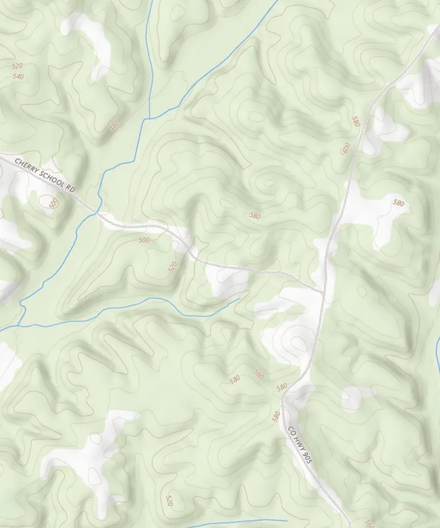
The ground rolls. There is about eighty feet between the low ground and the high, which is what gives you drainage, a dry building site up top, and the hollow down the middle where the creek runs. Mature pine over much of it, hardwood mixed through, pine straw thick underfoot.
An old logging road runs back through the property, so you can take a quad, a mower or a side-by-side straight to the back corner without cutting a new trail. On a wooded tract that is the difference between using the whole twenty acres and only ever using the front of it.
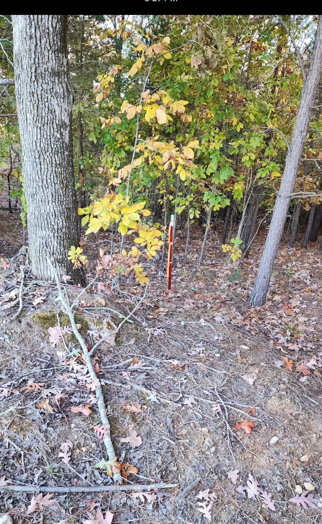
The parcel was surveyed in 2022 and the corner markers are still in the ground — walk it with the survey in your hand and check every line yourself. A copy comes with the sale.
The parcel is FEMA Zone X, an area of minimal flood hazard outside the special flood hazard area, so federal law does not require you to carry flood insurance on it.
Surveyed, platted, and still pinned at the corners.
This is Tract 17 on the recorded plat — 19.74 acres, with a bearing and a distance on every line — and the corner markers are still standing in the ground.
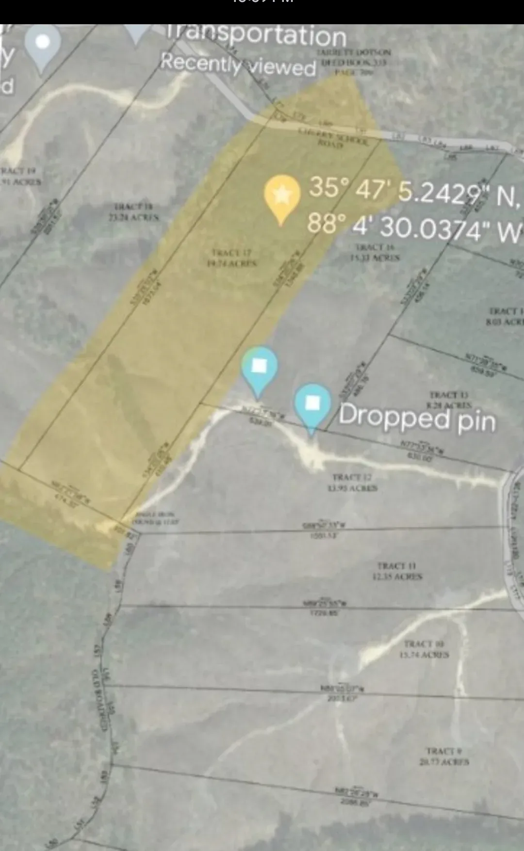
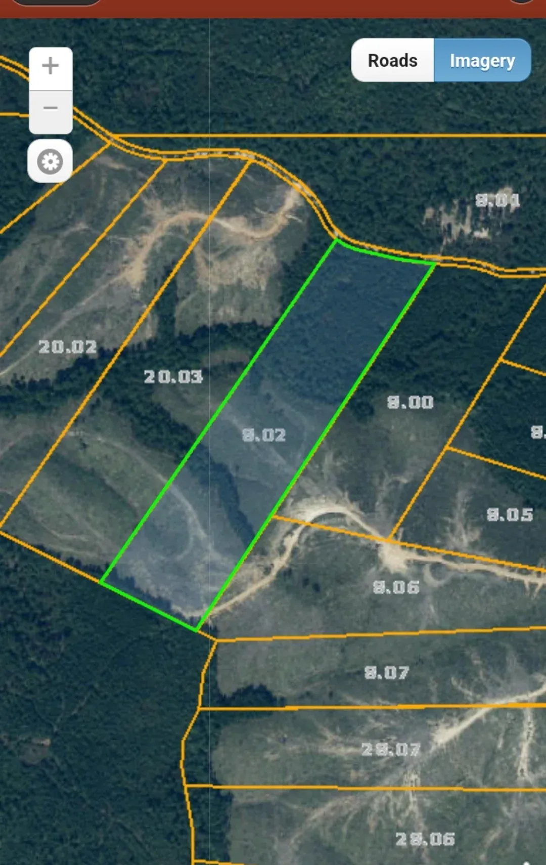
Parcel 020-017-008.02-000 — look it up yourself on the Decatur County property records, or drop a pin at 35.78587, −88.074365 and drive past it. To go onto the land, arrange a showing with the listing agent, Adam Pratt, on 731-733-1138.
Drive, pad, building.
The driveway
Long, graveled and properly built up — crowned, drained and wide enough to turn a crew-cab pickup with room to spare. There is a turnaround at the end — pull in, swing around and drive out forward.
The pad
A 42×42 pad in fresh stone at the end of a leveled drive — better than seventeen hundred square feet of flat gravel. That is a fifth-wheel and the tow vehicle side by side with room to open the awning, or a ready-made base for whatever you decide to put up.
The building
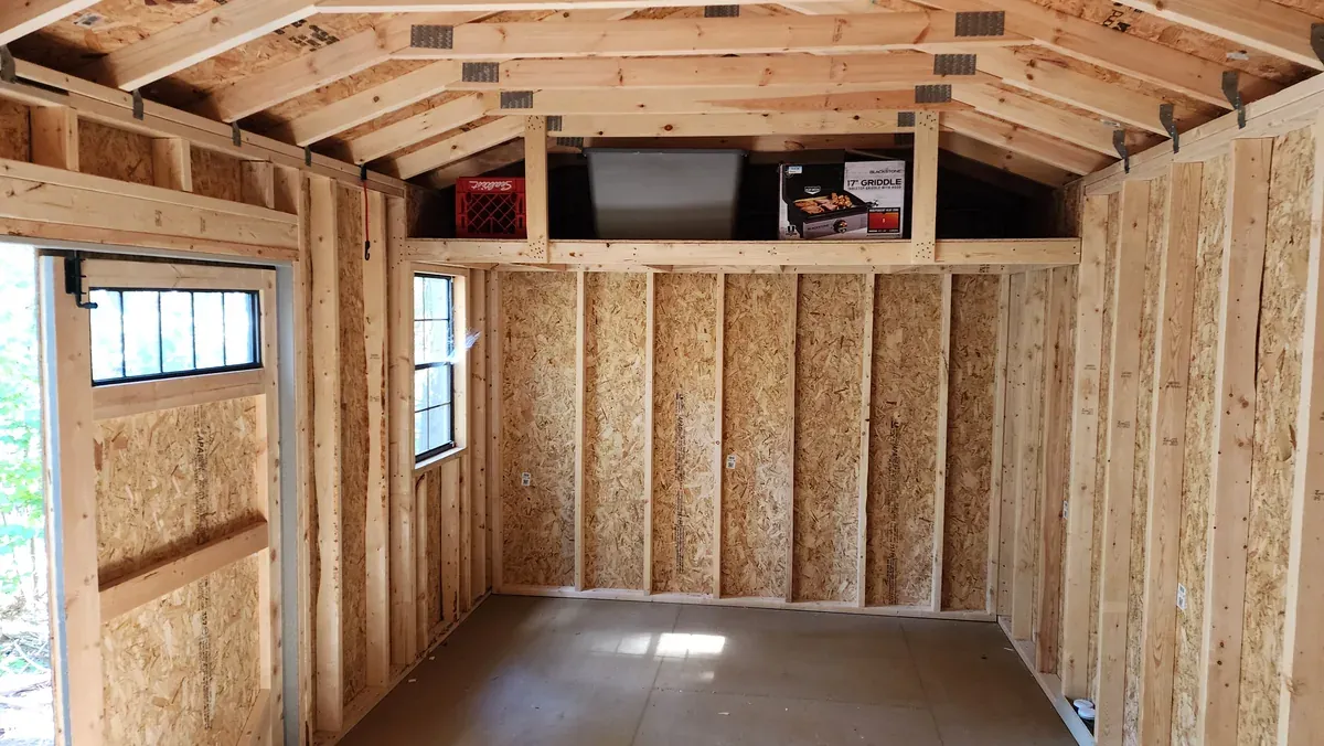
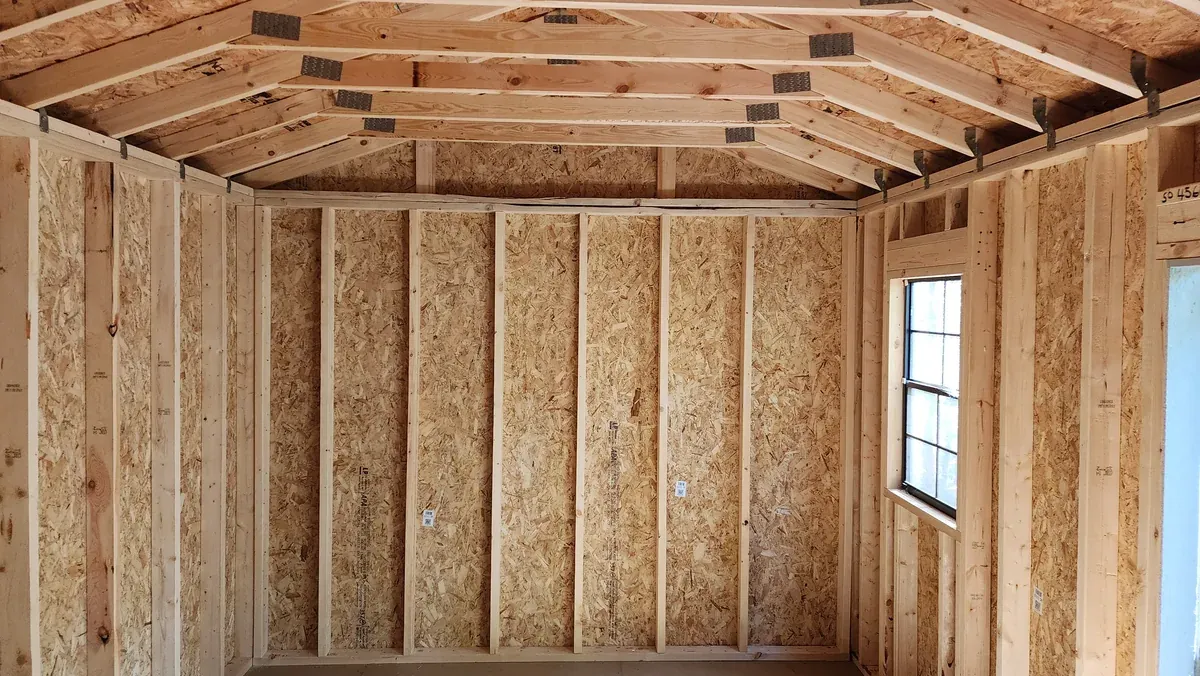
A 12×24 wood building in as-new condition: board-and-batten siding, gabled roof, two windows with shutters, double doors wide enough for a mower or a quad. Inside it is clean and dry, properly framed and trussed, with a full-width loft shelf across the back for long-term storage.


It runs. Here it is running.
Plenty of listings mention a creek. Fewer show you one with water in it, so here is ten seconds of ours — turn the sound up.
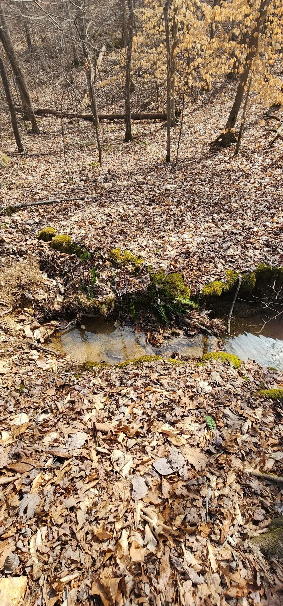
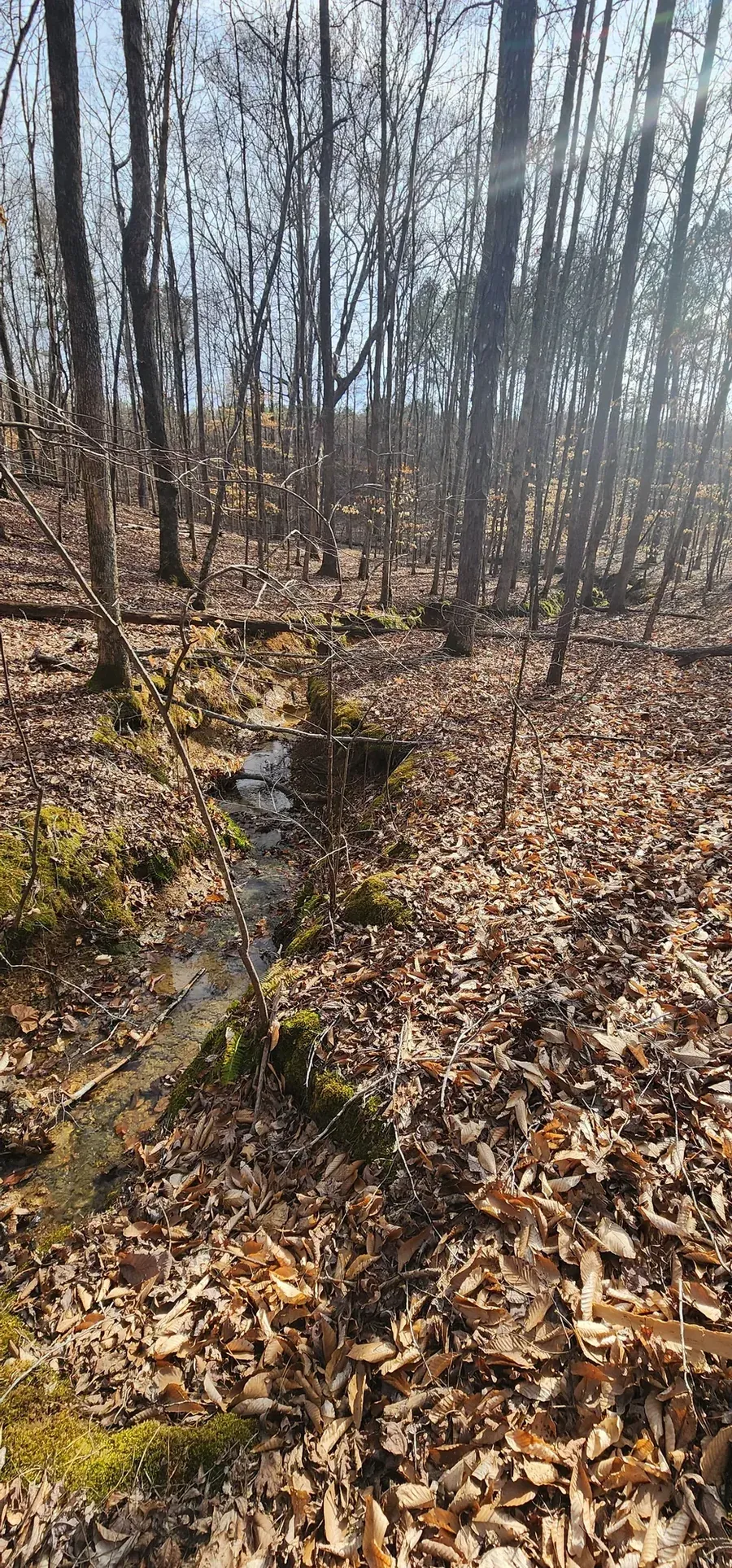
The hollow runs the width of the property and the creek runs down it over gravel and limestone, between mossy banks thick with ferns. In places it widens into standing pools; in others it narrows and picks up speed.
It is the reason the hollow is the best ground on the parcel for watching deer, and the reason the hardwood down there is bigger than the pine up top. It is also simply a good place to sit.
The parcel is FEMA Zone X, an area of minimal flood hazard outside the special flood hazard area, so federal law does not require flood insurance on it.

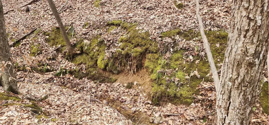
Pine up top, hardwood down the slopes.
Mature pine over the high ground where the drive and pad are, and hardwood through the hollow and down the sides — oak, hickory and beech, open underneath and easy to walk.
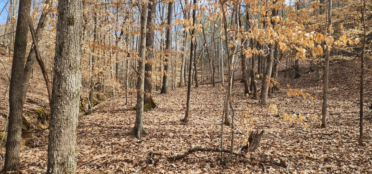
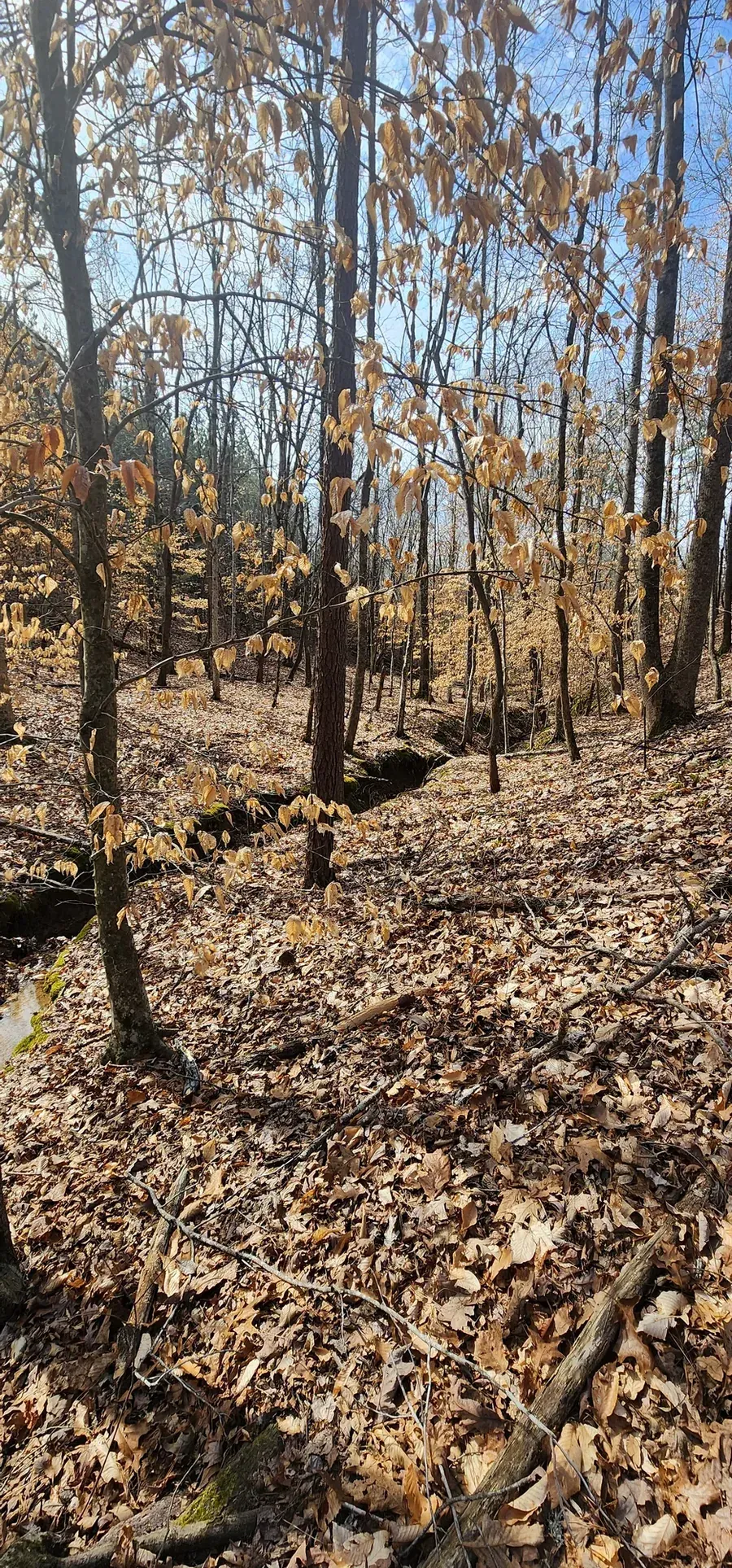
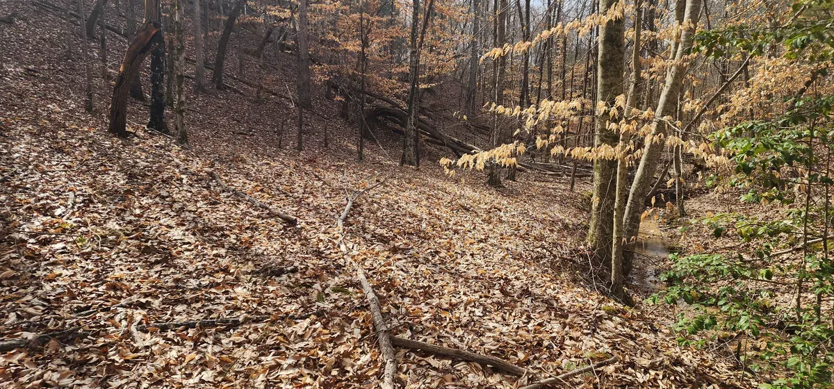
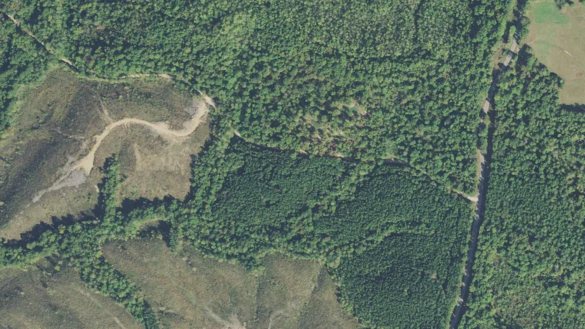
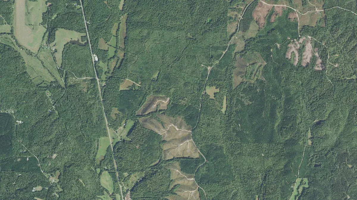
Timber, and very few neighbors.
Big wooded tracts, scattered clearings and not much else — this is a corner of the county where your nearest neighbor is a long way through the trees.
Parcel particulars, utilities and what conveys are on the details page.
Come and see it.
It fronts a county road and the drive takes a family car. Call or text Adam Pratt, the listing agent at Evans Real Estate, to arrange a showing or ask a question.